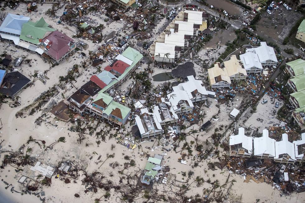
National Weather Service issues dire tweets over impending Hurricane Irma. (GERBEN VAN ES/AFP/Getty Images)

The National Weather Service issued a dire warning to Floridians Friday ahead of Hurricane Irma's impending landfall.
The agency's Key West office tweeted:
"Please RT," the tweeted added.
Weather forecasters want as many people to be storm-aware as possible. Being unprepared for Irma's power and its strength will have deadly consequences, so the weather service is trying to do anything in their power to inform people of the storm.
And it has worked. The tweet, made Friday evening, has racked up more than 50,000 retweets as of Saturday morning.
"NOWHERE IN THE FLORIDA KEYS WILL BE SAFE," the agency added in another tweet. "EVACUATE NOW."
Irma was one of the strongest hurricanes ever recorded in the Atlantic ocean as it barreled toward the Caribbean and the United States earlier this week. It has weakened some due to it hitting land, but the effects of the major hurricane will still be devastating.
According to the National Weather Service, folks in south Florida should expect wind to pose an "extreme" threat to property and life, while storm surge and rainfall is expected to pose a "devastating to catastrophic" threat to property and life.
Folks farther up the coast should expect similar effects, the weather service said, while folks inland and north of Florida should expect weaker, yet still very dangerous hurricane conditions.
At its strongest, Irma had sustained winds in excess of 180 mph. Now, according to the weather service's 8 a.m. advisory on the storm, Irma has winds of 130 mph, making it a category 4 storm.
The storm has appeared to make landfall over northern Cuba, which will continue to weaken it. However, once Irma makes its northward turn, it is expected to strengthen again due to the extremely warm waters between Florida and Cuba.
The storm is expected to make landfall over the Florida Keys sometime Sunday before lunchtime.